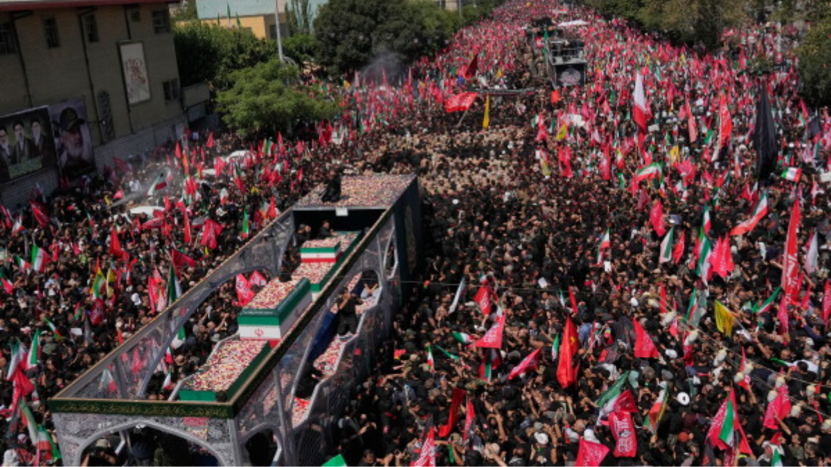
The Israel Defense Forces (IDF) came under scathing criticism late last Friday after it posted a regional threat map on X (previously Twitter) that misrepresents India's borders—omitting Jammu and Kashmir.
The error prompted a wave of irate reactions from Indian users, leading the IDF to make a rare public apology.
The map, meant to emphasize Iran's growing missile threat as part of a broader message declaring Tehran a "global threat," left India incomplete. The map soon gained the ire of Indian netizens, who used hashtags such as #IndiaUnmapped and #UnmapIndia to criticize what they referred to as a "diplomatic faux pas."
Following a posting by an account called "Indian Right Wing Community," the IDF admitted the mistake within 90 minutes and issued the following statement:
"This posting is a reflection of the region. This map does not accurately portray borders. We apologize for any offense this has caused."
But the apology did little to quell the backlash. Some Indian users were taken aback, especially considering the strategic depth of India-Israel relations. From disappointment to diplomatic incredulity, some comments were made, with one user observing, "Now you see why India stays neutral. No one's really your friend in diplomacy."
While the Indian government remains silent so far, the implications of the matter are not lost. India has always maintained that Jammu & Kashmir and Ladakh— including territories under illegal occupation by Pakistan and China—are integral components of its landmass. Prime Minister Narendra Modi restated that stance in the last month after the terrorist attack in Pahalgam.
India and Israel share a strong partnership, particularly in defense and technology. Modi’s historic 2017 visit marked the first by an Indian Prime Minister to Israel, symbolizing the growing warmth between the two nations. India is also among Israel’s top buyers of defense equipment and maintains high trade volumes with the country—ranking just behind the U.S., U.K., Hong Kong, and China.
In light of the extent of the two countries' relations, the mistaken map surprised most people. The original IDF blog included an illustration depicting Iran's missile capabilities spanning large sections of the continent, including sections of Europe, North Africa, China, and India—though with a misdrawn Indian border.
Though the IDF's admission of the mistake was quick, the repercussions highlighted the sensitive character of geographical representations in geopolitics, particularly when close allies are involved.
Read also| Home Secretary to Head PM‑Backed High‑Level Panel Probing Air India Flight AI‑171 Crash
Read also| Air India Flights Rerouted Amid Rising Tensions in Iran-Israel Conflict