


China’s proposed mega hydropower project on the Yarlung Tsangpo River in Tibet has faced renewed scientific scrutiny after a study by Chinese geologists identified an active fault zone beneath the planned dam site, raising concerns over the long-term safety and stability of the massive infrastructure project.
The findings are notable as they come from researchers associated with the China Geological Survey, adding fresh significance to concerns previously raised by India over the risks of constructing a large-scale dam in one of the world’s most earthquake-prone regions.
The study, published in the Chinese-language journal Sedimentary Geology and Tethyan Geology, found that the project area lies along the Paizhen Fault, an active tectonic zone near the Great Bend of the Yarlung Tsangpo River in southeastern Tibet. Researchers said the fault has remained “highly active since the Pleistocene", a geological period that began around 2.6 million years ago, and continues to experience tectonic movement.
“The Paizhen Fault, which has been highly active since the Pleistocene, will have a major impact on the structural stability and construction of nearby structures, including dams, roads, bridges and tunnels, as well as the reservoir area," the researchers wrote.
According to the study, repeated activity along the fault could weaken surrounding rock formations and mountain slopes, increasing the risks of landslides, rock collapses and ground deformation in the project region. The researchers warned that such geological instability could affect important parts of the hydropower complex, including underground tunnels, powerhouse caverns and other major engineering structures.
They recommended continuous geological surveillance, strengthening of vulnerable slopes and ensuring that fault activity remains a key factor throughout the design and construction process.
China began construction of the hydropower project in 2025 in Medog County, near the dramatic “Great Bend" of the Yarlung Tsangpo River. At this location, the river makes a sharp U-turn before flowing into India’s Arunachal Pradesh as the Siang and later becoming the Brahmaputra.
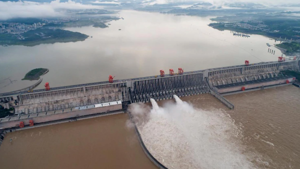
With an expected generation capacity of around 60 gigawatts, the project is projected to overtake the Three Gorges Dam as the world’s largest hydropower station.
The study is likely to bring renewed focus to India’s longstanding concerns about the project. New Delhi has repeatedly highlighted the geological vulnerability of the Himalayan region, citing risks from earthquakes, landslides and glacial hazards.
India has also expressed concerns about possible downstream consequences in the event of structural damage, sudden water releases or changes in river flow, given the Brahmaputra’s importance to millions of people in Arunachal Pradesh and Assam.
Apart from safety concerns, India has called for greater transparency from Beijing regarding the $147 billion project’s design, operational plans and sharing of hydrological information. New Delhi has maintained that developments on transboundary rivers should consider the interests of downstream nations.
China has defended the project, describing it as a run-of-the-river hydropower initiative primarily focused on electricity generation and stating that it will not have a significant impact on downstream water availability.
Although the Chinese study does not recommend stopping the project, it highlights the engineering difficulties posed by the active Paizhen Fault. The findings from Chinese researchers themselves add another scientific layer to the debate surrounding a project that has already attracted environmental, geological and geopolitical attention across the Himalayan region.
Also Read | Andy Burnham Poised to Become UK's Next Prime Minister, Seventh in a Decade
Also Read |Explosions Rock Iran as Ali Khamenei Is Buried; US Denies Carrying Out Strikes